Access Map
Access Map is for physically disabled people like me who use mobility devices to get around. It is designed to deliver obscure, specific accessibility information about trails and parks, since other published information is often incorrect or overly-generalized. The app is built off of Google Maps and the database is crowdsourced.


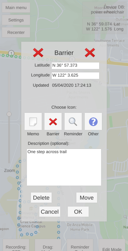
Very often I’ll arrive at a park and ask a ranger on which trails I could take my electric wheelchair. Typically they will point out whatever short paths which have been designated ADA accessible. This will often be a disappointingly short path between a parking lot and a picnic table. While I’m glad for this inclusion, I personally use a robust electric wheelchair capable of so much more. Usually I can find another trail completely accessible to my chair. Often times, the trail would be accessible if not for one single step or gate at the end. Either way, this would be great information to know ahead of time. Access Maps’ database essentially says, “No matter the accessibility designation, I’ve been here with xyz device”, or “Here’s where the trail ends for someone in xyz device”.
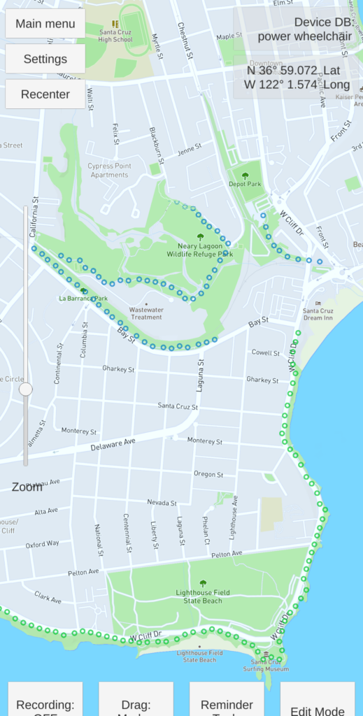
Use of the app is designed to be intuitive. It’s just a matter of switching on record mode and letting it run as you explore the outdoors. There’s an edit mode if you forgot to turn it off while taking a break at a pub between trails.
I started this project because there’s conspicuous lack of this data in the information age. It’s great to keep my programming skills sharp, but it’s also fun have an excuse to get outside and populate my database! I truly hope other users will feel excited to use the app and also contribute.
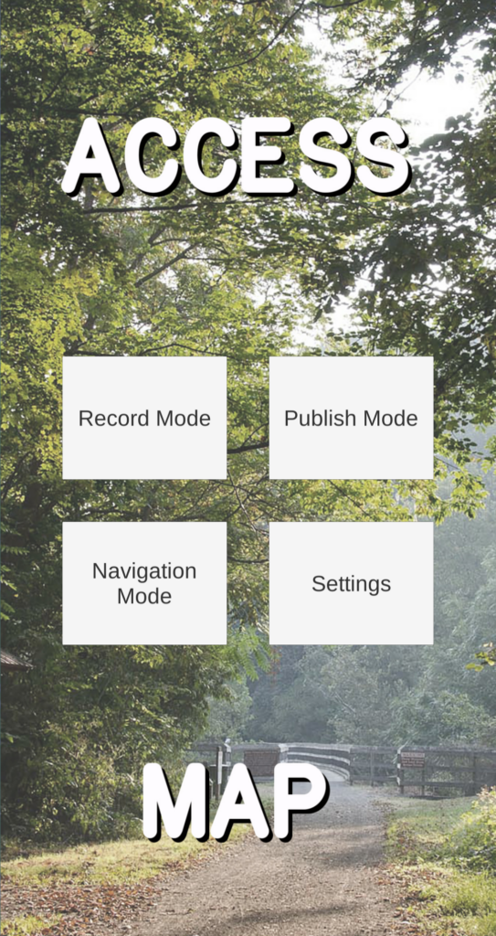
Access map is still in the early stages of development, and as you can see from the screenshots, there’s not much polish on it.
Please stay tuned!
